SCIENCE OUTREACH
The impact of drones on scientific research
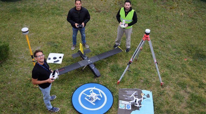
Unmanned aerial vehicles are used to reconstruct the topography of large regions in high resolution.
In recent years, the proliferation of drones with different uses has been very large, both in the country and in the rest of the world. In addition to its military, recreational and commercial use, they also made their arrival in the scientific field. The Instituto Patagónico de Geología y Paleontología (IPGP, CONICET) (Patagonian Institute of Geology and Paleontology) is the first Council’s institute to have the ‘Unmanned Air Vehicle Operator Certificate’ (CE-VANT).
“There are many applications for the use of drones, we focus on the generation of three-dimensional models built from photos or videos, which are called photogrammetric models. These are used to carry out geological analyzes and quantify natural and anthropic processes, among other things”, explains Andrés Bilmes, geologist and associate researcher at the IPGP. “We have several objectives, but they all consist of the generation of high spatial resolution photogrammetric models, that is, trying to reconstruct the topography of the land with the greatest accuracy and precision possible,” adds Nicolás Scivetti, geologist and support staff from the same institute, which belongs to the CENPAT of Puerto Madryn. Along with them, Sebastián Lucas, a graduate in Computer Science and CPA from the IPGP, make up part of the Geoinformatics Laboratory team at the scientific center of Puerto Madryn.
Help for the community
The use of unmanned aerial vehicles by IPGP personnel has a direct impact on the community of Puerto Madryn and surroundings. An example of this is the problem that the region of the Lower Valley of the Chubut River (VIRCh) goes through every time it rains in large quantities, because the river (the only source of freshwater) drags a large amount of sediment that prevents its potabilization, so it leaves communities without water. From the detailed photogrammetric models, scientists can determine the main sources of those sediments and allow provincial and municipal governments to work accordingly. “With this technique, we can monitor the natural resources that we have in our province and in the country with great accuracy and precision. Besides, we can intervene in the territorial ordering of an area and have a before and after, know what is happening, how much sand a beach lost or if the source of sediments is a canyon or another or calculate the volume extracted from a quarry. All this was something very complex to do before and it was difficult to reach the level of resolution, accuracy and precision that we are accessing today with this’ ‘, Bilmes explains.
Services to third parties
In addition, this resource allows CONICET to provide the so-called High Level Technical Services (STAN) to various institutions and companies that need to analyze, quantify and monitor natural resources: “We use three-dimensional models of a hill to better understand how a hydrocarbon reservoir or hydrogen and carbon dioxide storage works underground. By having a highly accurate 3D model, multiple measurements of the rock bodies can now be determined,” explains Scivetti.
Certificates
In this context, the IPGP-CONICET team managed to obtain the CE-VANT granted by the Administración Nacional de Aviación Civil (ANAC), to which only 95 organizations from all over the country were able to access, most of them private companies, being the IPGP together with the National Geographic Institute (IGN), the only two institutions of the national scientific system to have it. “It is the commercial operator certificate of an unmanned aerial vehicle and refers to a series of waivers that are granted to carry out particular activities with a UAV. When someone only gets a pilot’s license, they are limited to certain activities involving very low flying height, very short distance, and no imagery to work with, either in a business or academic sense. The CE-UAV, on the contrary, allows, through the elaboration of an operations manual, medical certificates, pilot licenses and risk assessment and mitigation planning, to be able to carry out these operations, framed within the law, both to carry out scientific tasks and to provide services to third parties”, concludes Scivetti.
By Santiago Giorgi – Communication Area CONICET CENPAT